AI disaster early warning (Kenya Red Cross challenge)
Satellite-detected floods and fires, warning people who have no smartphone.
- Status
- PrototypeDesigned and developed for the Kenya Red Cross AI Innovation Challenge; outcome not recorded
- Period
- Sep 2025
- Role
- Concept, architecture and development
- Brand
- Tuchopini
Machine learning on free satellite imagery detects developing floods, droughts and fires in Taita Taveta County, and warnings go out over USSD and SMS so they reach every handset, with no data connection. Opt-in registration, privacy-preserving location and a coordinator dashboard.
What it does
- ML detection from public satellite data
- USSD and SMS delivery
- Community opt-in and consent
- Response coordinator dashboard
The satellite ML is the easy half. The hard half is the last mile, and the answer was to go backwards technologically on purpose.
More ai, vision and iot
 Built ▶ 1
 AI, vision and IoT
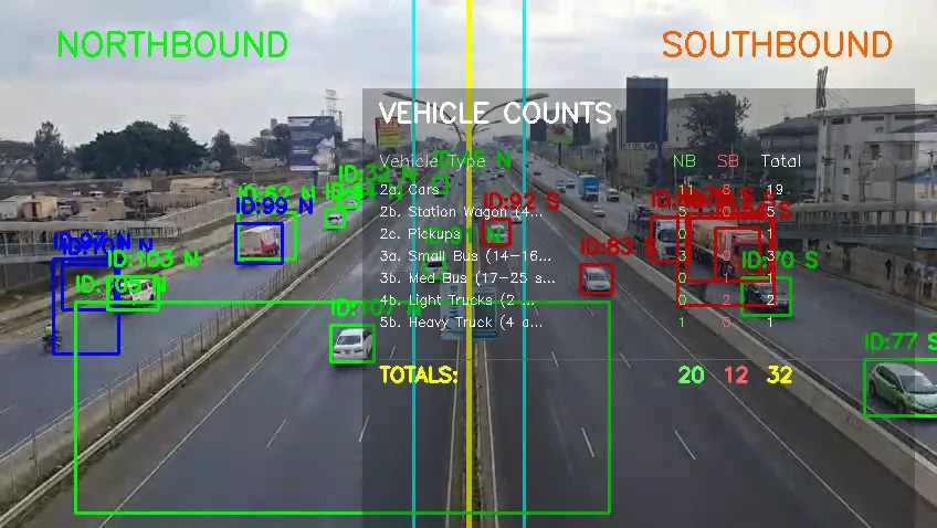
AI traffic survey and vehicle counting
Survey-grade counts from video: 14 categories, by direction, in 15-minute slots.
Python · YOLOv8 · OpenCV · SQLite
 Prototype
 AI, vision and IoT
AI traffic management on Google Cloud
Camera feeds to adaptive signal timing, with a human override.
Google Cloud · Vertex AI · Pub/Sub · Dataflow
Prototype ▶ 1 AI, vision and IoT
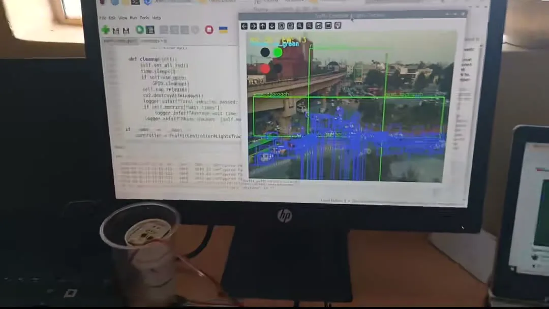
Smart traffic lights (ESP8266 + Raspberry Pi)
Two coordinated intersections on commodity hardware, and a YOLO-driven signal demo.
ESP8266 · Raspberry Pi · Python · YOLOv8